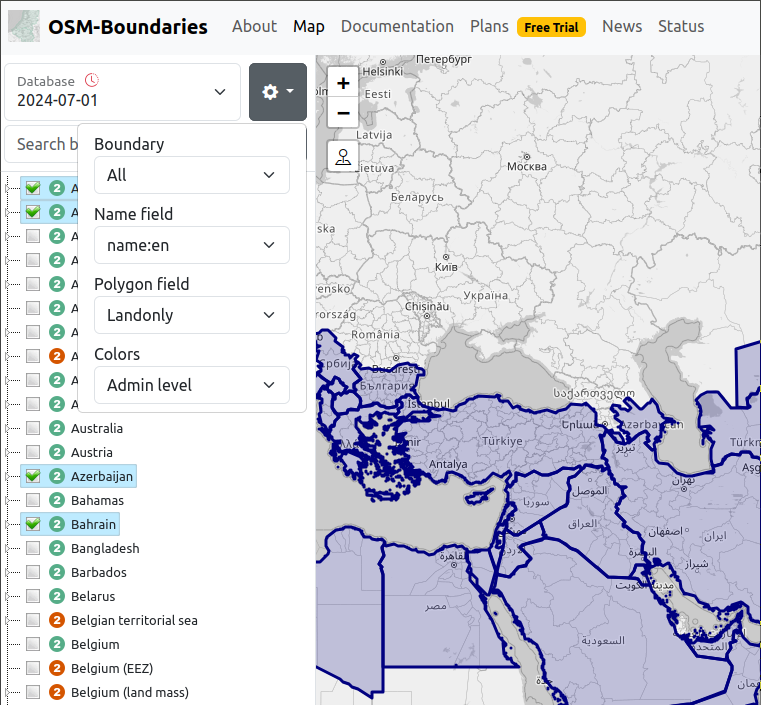
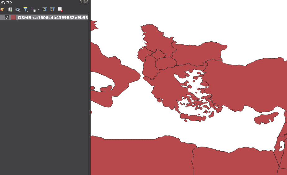
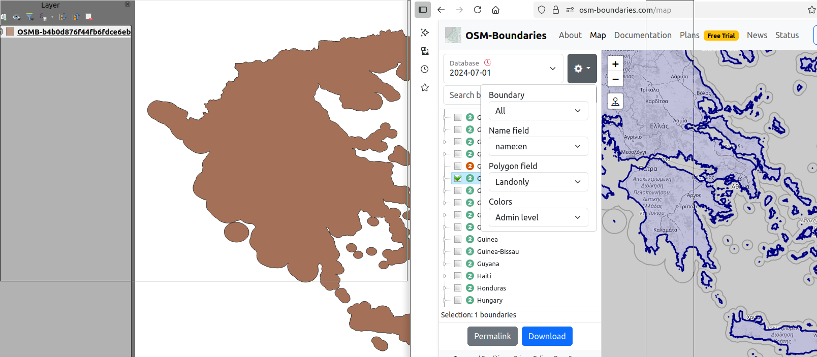
Land Only option not working

Map preview shows land only and other DB version has been tried: downloaded geojson data always expanded including national waters; I suppose is not an problem in source data. Area involved is Italy, Greece, Cyprus where such a expansion is particularly noticeable.

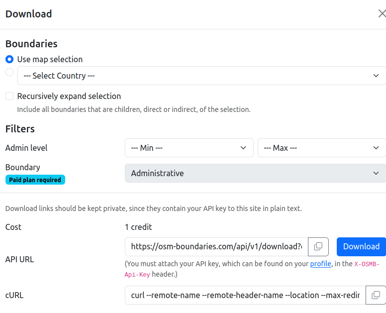
It seems like there are items missing from the download form. You should go to https://osm-boundaries.com/about/membership and enable a membership plan (it's 100% free still). If you look at the comparison the Free plan only allows previewing the Land-only polygons, while Explorer can download them as well.